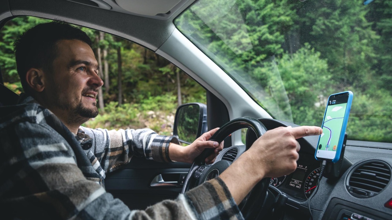
When Michael Reyes pulled out of his driveway last Tuesday, he expected the usual: a calm 18-minute drive to his office, a podcast, and maybe a red light or two. Instead, his navigation app insisted—again—that the fastest route involved detouring around a “major construction zone” on a stretch of road that, according to Reyes and pretty much everyone who lives nearby, hasn’t seen a single orange cone in years. “It’s like the app is haunted by roadwork,” he joked. “It keeps warning me about a closure from, like, 2019.”
Reyes, a 34-year-old sales manager in the outskirts of Columbus, Ohio, says the rerouting has been happening on and off for months. Sometimes it adds five minutes, sometimes 15, and occasionally it sends him down a residential maze that feels like it was designed specifically to test a person’s patience. “I don’t mind traffic updates when they’re real,” he said. “But this is like being gaslit by a GPS.”
A detour to nowhere
The supposed construction zone sits along a short connector road between two busy arterials—exactly the kind of link navigation apps love because it shaves off a few stoplights. Reyes remembers when the road actually was under construction: a water main project that tore up lanes, slowed everything to a crawl, and made local commuters grumpy for a full summer. The work wrapped up years ago, and the pavement has been smooth ever since.
But in the app, the closure lives on. Reyes says he’s tried multiple times to follow the suggested detour just to see if he was missing something obvious. “Every time I drive past the spot, it’s normal traffic,” he said. “No signs, no workers, nothing. Just… a road.”
It’s not just one driver
Reyes’ experience struck a chord after he mentioned it in a neighborhood Facebook group, where other drivers chimed in with their own navigation quirks. One resident said her app routinely warns about “seasonal closures” on a bridge that’s open year-round. Another said his commute gets rerouted to avoid a “toll road,” except the road stopped charging tolls more than a decade ago.
“It’s comforting and annoying at the same time,” Reyes said. “Comforting because I’m not crazy, and annoying because, apparently, none of us can convince the map to move on.”
Why navigation apps get stuck in the past
Digital maps feel all-knowing, but they’re really a patchwork of data sources—public road records, satellite imagery, commercial providers, and user reports—stitched together and updated on different schedules. A “construction zone” label can come from an old permit, a temporary traffic advisory that never got cleared, or a machine-learning model that interpreted something incorrectly and then never got enough evidence to reverse it. If you’ve ever seen a map that insists a parking lot is a “road,” you’ve seen the same kind of problem in miniature.
Then there’s the feedback loop: if an app believes a road is closed, it routes people away from it. Fewer users drive the road, which means fewer real-world signals (like phone movement data) to prove it’s open. The closure becomes a self-fulfilling prophecy, except instead of predicting the future, it’s preserving the past.
Small errors can create big ripple effects
On a single trip, a wrong reroute is mostly an inconvenience. Over time, though, repeated detours can push traffic into quieter neighborhoods, clog small intersections, and make residents feel like they’re living beside a secret shortcut that only algorithms know about. Reyes says that’s already happening near his usual detour, where a stop sign used to mean “maybe one car,” and now means “good luck.”
Transportation researchers have been pointing this out for years: navigation tools are great at optimizing for individual trips, but they don’t always optimize for communities. When the underlying map data is wrong, the optimization isn’t just imperfect—it can actively create new problems.
What the map companies say (and what they don’t)
Most major navigation platforms offer some version of “report a problem” or “suggest an edit,” and they regularly remind users that updates can take time. They also tend to be a little cagey about exactly how fast changes appear, partly because different issues go through different verification steps. A missing street sign might be updated quickly; a change to road access or turn restrictions could require multiple confirmations or official records.
Reyes says he’s submitted reports more than once and even dropped a pin with a note: “Construction finished years ago.” The app thanked him, and then, a week later, rerouted him again. “It’s like shouting into a very polite void,” he said.
How to fight back when your GPS is wrong
If your navigation keeps insisting on a closure or hazard that clearly isn’t there, a few practical steps can help. First, report the issue inside the app, but be specific: include the exact location, direction of travel, and what’s actually true (for example, “road is open; no construction; both lanes available”). If the platform allows photos or additional details, those can help reviewers verify what’s going on.
Second, try cross-checking with another map service for a few days. If multiple apps show the same phantom closure, the problem may be coming from a shared data provider or an outdated public record. If only one app is wrong, switching—at least temporarily—can save you time and sanity.
And third, trust your eyes. Reyes emphasizes he’s not advocating reckless driving or ignoring legitimate warnings, but he’s learned to treat the app as advice, not destiny. “If I see the road is open and it’s safe, I take it,” he said. “I’m not going to circle the block because my phone thinks it’s still 2019.”
A strangely human problem for a very digital tool
There’s something oddly relatable about a navigation app clinging to a long-finished construction project. People do it too—hanging onto outdated assumptions because nobody updated the mental file. The difference is that when a person gets stuck in the past, it’s usually just a conversation. When a map gets stuck, it can reroute an entire morning commute.
For now, Reyes says he’s treating it like an ongoing neighborhood mystery. He’s collecting screenshots, comparing routes, and encouraging neighbors to file reports so the data gets enough “votes” to change. “I just want the app to admit the road has healed,” he said. “It’s time to let the cones go.”
More from Fast Lane Only